Last modified: 2026-09-15 15:58:48
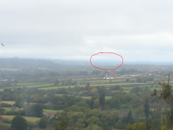
< 2026-09-14 2026-09-16 >What is this hill?
We can just about make out Glastonbury Tor on the left of the frame and Hinkley Point on the right of the frame.
From the Line Of Sight Map I get this:
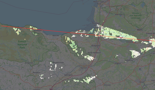
So the thing that is visible about midway between Glastonbury Tor and Hinkley Point is apparently Minehead. Interesting, I had always imagined it was in Wales. Minehead is 45 miles away.
Does Minehead have a hill this shape?
There is this:
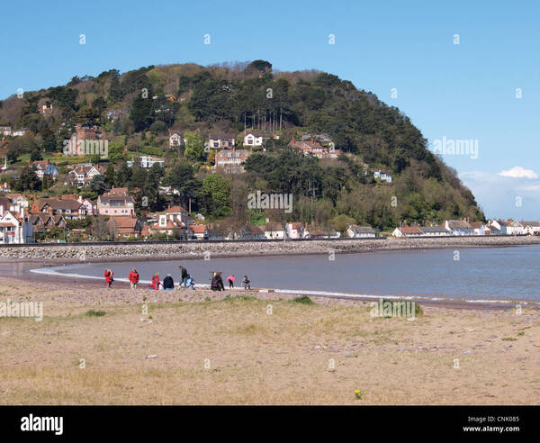
But I'd be surprised if that's big enough to look this big from this far away?
I messed with the levels in Gimp to make it easier to see:
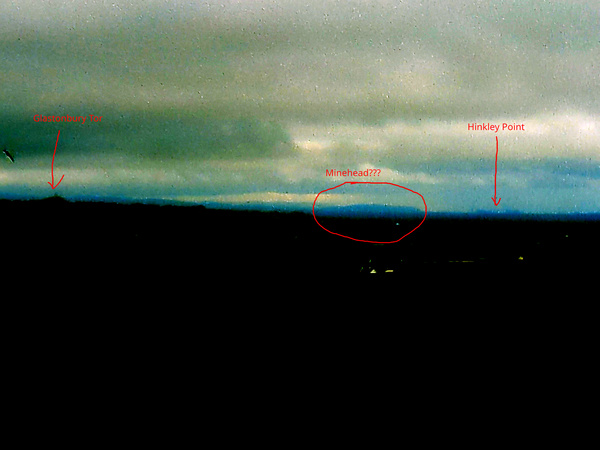
Apparently "North Hill" is about 250m above sea level at its peak, which is quite high. We're only 150m here.
North Hill is indeed the big lump in the "alamy" pic above.
As a double check: the angle between Glastonbury Tor and Hinkley Point is about 7.2 degrees.
And from measuring on the photograph, I get that the visible part of the mystery hill is about 1.3 degrees wide, covering bearings of about 276.3 degrees to 277.5 degrees.
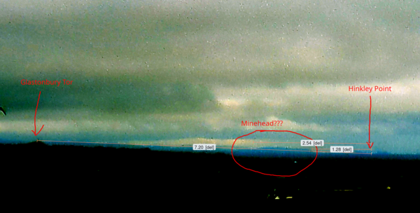
ChatGPT thinks that the rightmost part of that (so, 277.5 degrees) is pretty much bang on for the wooded bit of North Hill that we see in the "alamy" pic above.
Is there a way to draw lines at these bearings on Google Maps to check? Can apparently use Google Earth Pro on desktop: https://mapsplatform.google.com/earth/about/versions/
276.3 to 277.5 is:
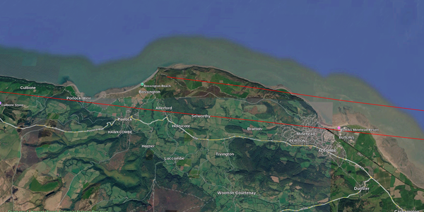
So yeah I'm pretty sure this is the North Hill just west of Minehead, pretty cool.
I wonder if I can make a 3d view in Google Earth Pro and verify it?
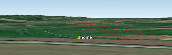
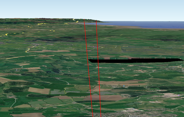
Pretty cool.
< 2026-09-14 2026-09-16 >